Rediscovering the Ancient Saint-Belec Slate: Europe’s Oldest 4,000-Year-Old Map
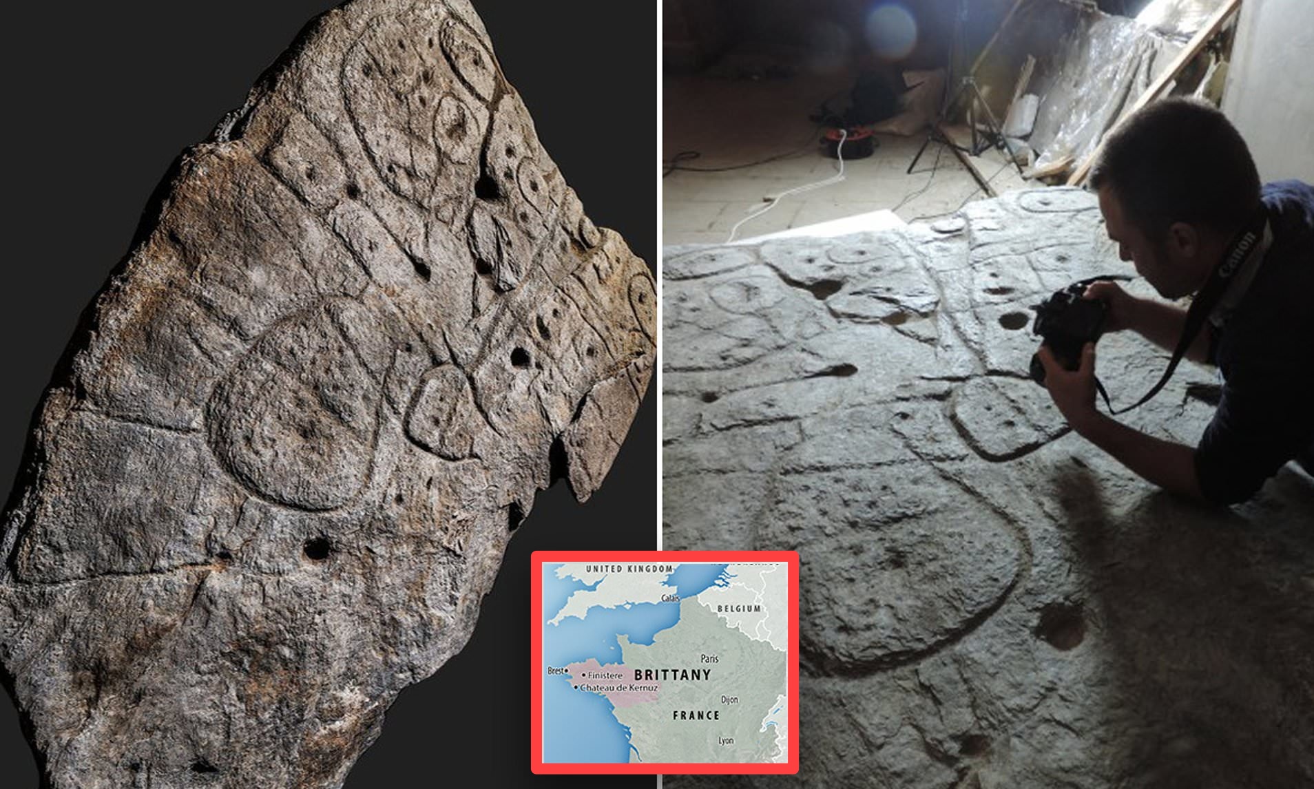
The Saint-Belec slate stands as a remarkable relic of ancient cartography, offering a glimpse into the geographical knowledge and artistic prowess of our distant ancestors. Dating back approximately 4,000 years, this slate map is believed to be the oldest of its kind in Europe, providing invaluable insights into the spatial awareness and navigation techniques of ancient civilizations.
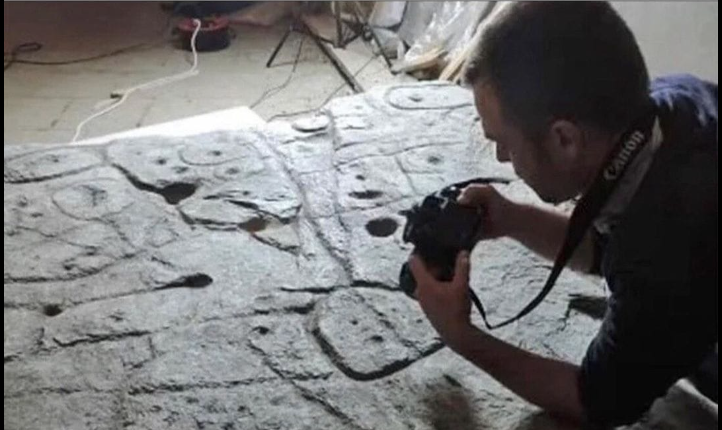
Discovered more than a century ago in northwestern France, the Saint-Belec slate lay forgotten, buried beneath the sands of time, until its rediscovery in 2014. Its unassuming appearance belied its historical significance, as archaeologists and historians began to unravel the secrets hidden within its intricate carvings.
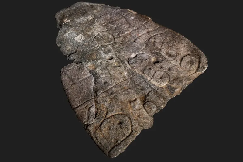
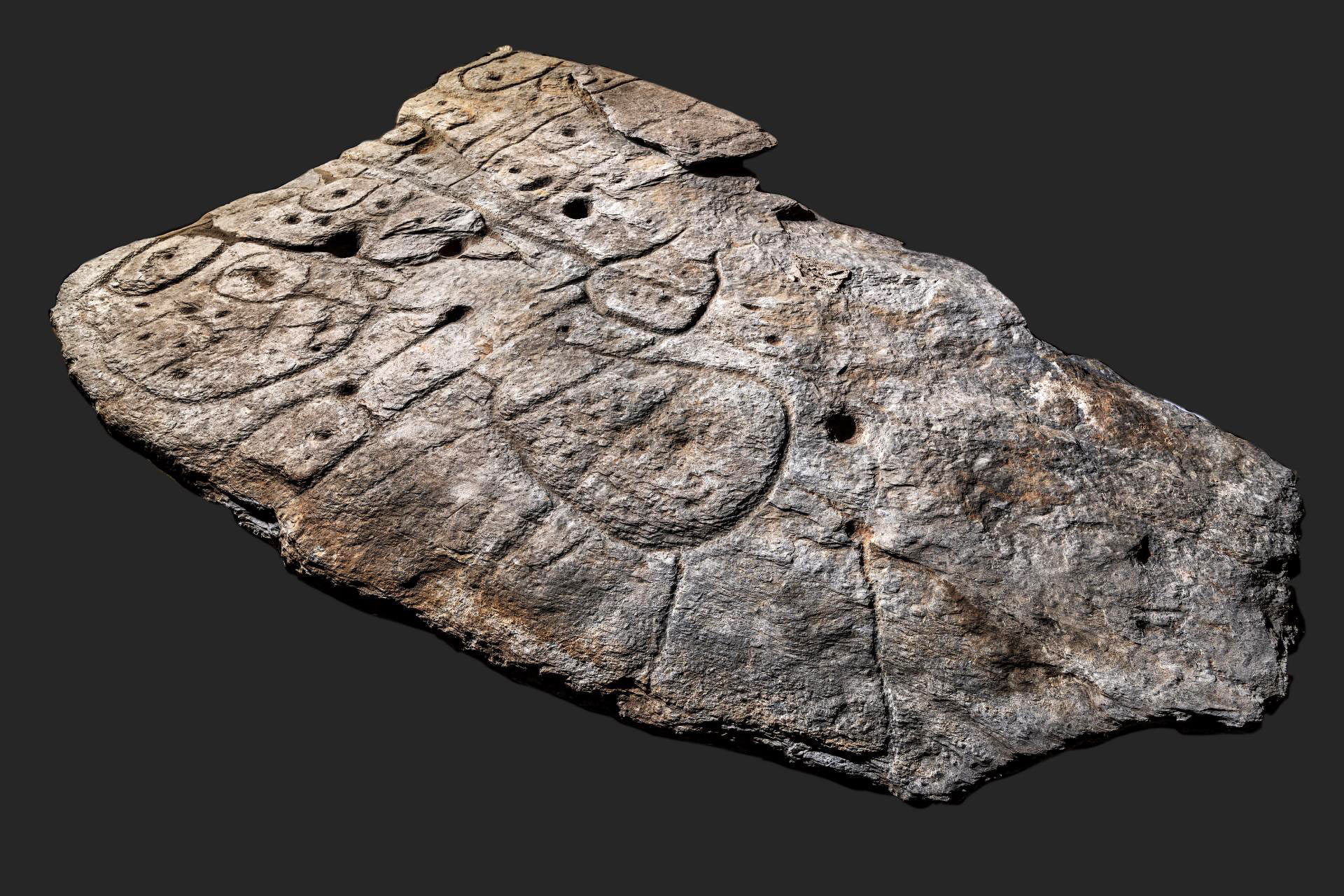
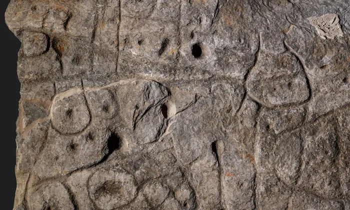
Etched into the surface of the slate are a series of geometric shapes and lines, meticulously arranged to represent rivers, mountains, and other topographical features. These markings, though crude by modern standards, offer a surprisingly accurate depiction of the landscape of ancient Europe, suggesting a sophisticated understanding of spatial relationships and geographical features.
What makes the Saint-Belec slate truly remarkable is not just its age, but also the questions it raises about the civilizations that produced it. Who were the people behind this ancient map? What drove them to create such a detailed representation of their world? And perhaps most intriguingly, what methods did they use to gather and record geographical information?
One theory suggests that the map may have been created by early Bronze Age peoples as a navigational aid for trade and travel. The intricate network of rivers and mountain ranges depicted on the slate could have served as a guide for ancient traders as they traversed the landscape, exchanging goods and ideas with distant communities.
Another possibility is that the map had a ceremonial or ritualistic purpose, serving as a symbolic representation of the world as perceived by ancient societies. In this interpretation, the markings on the slate may have held spiritual significance, guiding individuals on a metaphysical journey through the realms of the natural world.
Regardless of its precise purpose, the Saint-Belec slate offers a tantalizing glimpse into the complexities of ancient civilizations and the ways in which they sought to understand and navigate their world. As archaeologists continue to study and interpret this ancient artifact, its significance only grows, shedding new light on the origins of cartography and the human impulse to map and explore the world around us.